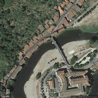
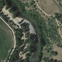
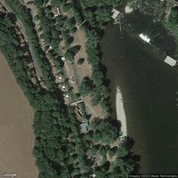
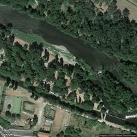
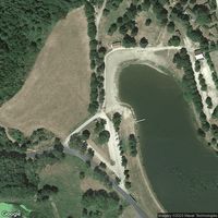
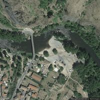
Photos of Allier Rive Gauche Camping
Today at Allier Rive Gauche Camping
13–15°C
CoolCooler than it looks. Cold shock is possible on entry. Take your time getting in.
Modelled — the floor is ground temperature, the ceiling air temperature, and the steps between them are ours · the label is our plain summary of the numbers, not advice
Before you go
Read before you swim
Reviews
No reviews yet. Be the first to share your experience.
Write a reviewAbout
Explore this spot in Villeneuve-d'Allier. Great spot for white water rafting, flyboarding, kayaking and canoeing. Villeneuve-d'Allier is a small commune located in the department of Haute-Loire, in the region of Auvergne-Rhône-Alpes, in south-central France. The area is characterized by rolling hills and lush forests, with the Allier River running through the town. There are also several picturesque villages and historic landmarks in the area for visitors to explore, including the Château de Lafayette and the Romanesque church of Saint-Pierre-de-Teille. The surrounding countryside is ideal for outdoor activities such as hiking, cycling, and fishing.
Location
What swimmers say
Activities
Water sports
Help verify this spot
Sign in to help verify details about this spot.
Been here recently?
Share conditions, tips, or hazards to help other swimmers plan their visit to Allier Rive Gauche Camping.
Share an updateFor beaches, lidos, cafés, saunas and swim venues
Run Allier Rive Gauche Camping, or a café, sauna or club beside it?
Every swimmer at your spot asks the same question: how’s the water today? A free poster or a live screen answers it — and brings your swimmers into a community that reports back.
- Completely free No fee for venues, no fee for swimmers. Print the poster, open the screen, and it runs itself.
- Wild Pro is optional Swimmers who want days two to seven of the forecast can subscribe — £3.99/mo or £29.99/yr. Today’s conditions and all official water quality are free for everyone, with no account.
- Safety first Water temperature, wind, waves, tides and the official bathing-water rating, shown plainly so people can decide for themselves.
- Live conditions Forecasts from Open-Meteo, tides from WorldTides, sea temperature from Copernicus Marine, and water quality from the agencies that test it.
- Built on community Swimmers post what they found. A poster or a screen at your spot turns every swim into a report the next swimmer can use.
Frequently asked questions
Is this river safe for swimming?
Check the Conditions tab for current flow rate and recent rainfall. Rivers can become dangerous after heavy rain. Review community reports for hazards like weirs, strong currents, or access issues.
How cold is the water?
Check the Temperature tab for the current estimate and 7-day trend. River temperatures respond quickly to weather changes. In the UK, expect 5-10°C in winter and 15-20°C in summer at most locations.
What should I bring?
A tow float, shoes with grip for slippery banks, and warm layers for after. Water shoes protect against rocks and debris on the riverbed.
What should I know before swimming here?
Check recent rainfall. Rivers rise fast after heavy rain. Never swim in fast-flowing or flooded water. Test entry/exit before you commit. River banks can be undercut. Cold water shock is real. Enter slowly and control your breathing. Watch for submerged obstacles like branches, weirs, and rocks. Conditions change fast. Always check the latest data, read recent community reports, and swim within your ability.