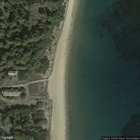
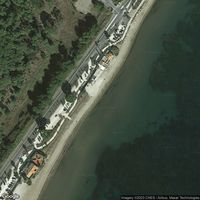
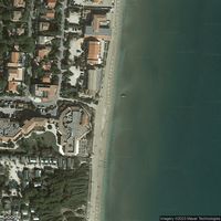
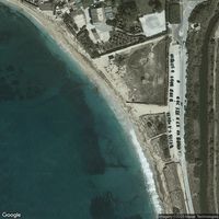
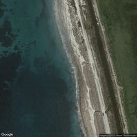
Photos of La Potiniere (Port)
Today at La Potiniere (Port)
23.1°C
WarmWarm for open water. Sun exposure and dehydration are the main risks at this temperature.
Copernicus Marine (Satellite) · the label is our plain summary of the numbers, not advice
Before you go
Read before you swim
Reviews
No reviews yet. Be the first to share your experience.
Write a reviewAbout
Explore this spot near Hyères. Great location for yachting, scuba diving, kayaking, canoeing, sailing and supping. Hyères is located in the Var department of the Provence-Alpes-Côte d'Azur region, in the south of France. The area is known for its stunning Mediterranean landscapes, with azure blue seas, deep green forests, and golden beaches. Hyères itself is a charming town with a rich history and architecture from the Renaissance era. The town is full of narrow streets and pastel-colored buildings, providing an authentic French atmosphere. From the town, visitors can take a boat ride to the famous Porquerolles Island, which is known for its unspoiled beauty, turquoise waters, and fine sand beaches. Inland from Hyères, the scenery is dominated by the thick forests and rolling hills of the Massif des Maures. This is a hiker's paradise, with many trails crisscrossing the area that offers magnificent views of the coastline. Further east is the renowned Côte d'Azur (French Riviera), with its glamorous towns such as Saint-Tropez and Cannes, perfect for a day trip or a weekend getaway. Overall, the area surrounding Hyères is a truly stunning destination with a rich variety of landscapes and attractions to explore.
Location
What swimmers say
Water sports
Help verify this spot
Sign in to help verify details about this spot.
Been here recently?
Share conditions, tips, or hazards to help other swimmers plan their visit to La Potiniere (Port).
Share an updateFor beaches, lidos, cafés, saunas and swim venues
Run La Potiniere (Port), or a café, sauna or club beside it?
Every swimmer at your spot asks the same question: how’s the water today? A free poster or a live screen answers it — and brings your swimmers into a community that reports back.
- Completely free No fee for venues, no fee for swimmers. Print the poster, open the screen, and it runs itself.
- Wild Pro is optional Swimmers who want days two to seven of the forecast can subscribe — £3.99/mo or £29.99/yr. Today’s conditions and all official water quality are free for everyone, with no account.
- Safety first Water temperature, wind, waves, tides and the official bathing-water rating, shown plainly so people can decide for themselves.
- Live conditions Forecasts from Open-Meteo, tides from WorldTides, sea temperature from Copernicus Marine, and water quality from the agencies that test it.
- Built on community Swimmers post what they found. A poster or a screen at your spot turns every swim into a report the next swimmer can use.
Frequently asked questions
Is this beach safe for swimming?
Check the Conditions tab for current wave height, swell and wind. Review the Quality tab for the latest Environment Agency classification. Always read recent community reports for local knowledge.
When is the best time to swim here?
Check the Tides tab for today's high and low times. Many coastal spots are best around high tide when there's enough water depth, or during slack water when currents are weakest.
What should I bring?
A tow float for visibility, warm layers for after, and footwear for rocky entries. In colder months, consider a wetsuit, gloves, and a swim cap.
What should I know before swimming here?
Check tide times before entering. Incoming tides can cut off escape routes. Watch for rip currents, especially near groynes and headlands. Cold water shock is real. Enter slowly and control your breathing. Always swim with others or tell someone your plan. A tow float makes you visible to boats and other water users. Conditions change fast. Always check the latest data, read recent community reports, and swim within your ability.